


Satellite Imagery Made Fast, Reliable, and Cost-Effective
The EO industry needs a unified bridge to connect satellite operators with businesses and governments. Entropy Research & Development Pvt Ltd is building a B2B/B2G marketplace that reduces complexity, lowers acquisition costs, and unlocks profitability for operators while enabling easier, faster access for data users..
Explore Our Exclusive Satellite Imagery Solutions
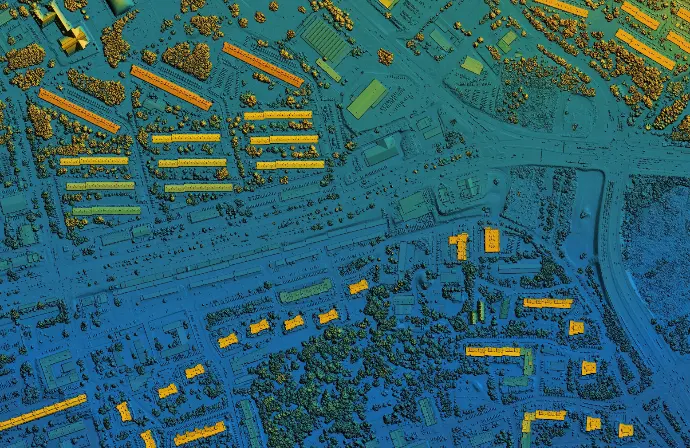
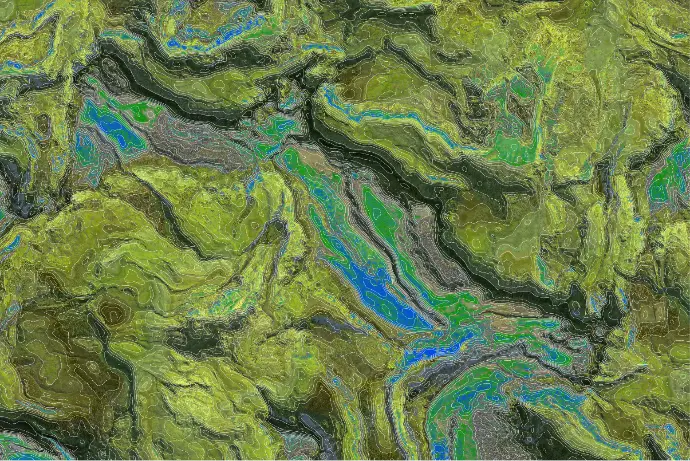
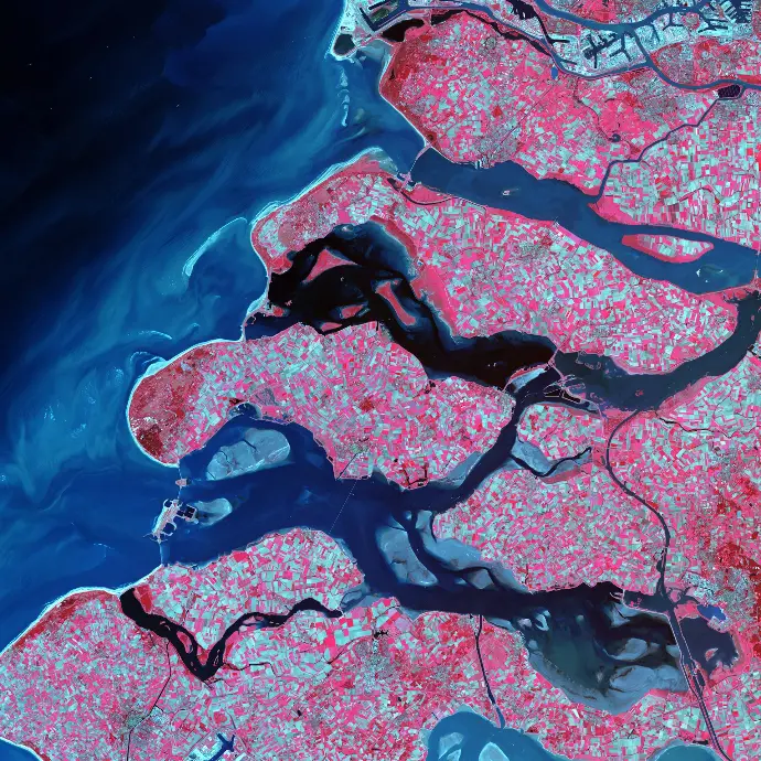
Unlock the power of space with Entropy’s cutting-edge satellite images. We deliver high-resolution, reliable, and actionable Earth observation data designed for businesses, governments, and researchers. Our advanced technology ensures efficiency, precision, and exceptional performance across aerospace and geospatial applications.
Reliable Earth Observation Data
Built on advanced aerospace technology, our imagery is trusted by businesses, governments, and research institutions worldwide. We guarantee accuracy, consistency, and performance you can depend on.

Cost-Effective Solutions
We provide flexible pricing and scalable data packages to fit your needs. Our cost-effective approach makes premium satellite imagery accessible without compromising quality or innovation.

Fast Access to Satellite Imagery
Entropy delivers high-resolution Earth observation images with rapid turnaround times. Our streamlined platform ensures you get the data you need, exactly when you need it to make time-sensitive decisions.
Supporting Upstream Growth and Downstream Demand


Still considering?
Contact us, it's complimentary
Schedule a consultation and discover how we can elevate your projects